
Bruce’s Weather Forecast - Race to the Straits
by Bruce Hedrick
As usual, the RTTS is a total sellout with 102 confirmed entries. What is not normal is the weather and wind for this weekend. It looks like a good possibility that the fleet will make it around the course both days. With the usual caveat that the transition zone from Pt No Pt to the south end of Marrowstone Island could be challenging. Since it is Spring, and Saturday will be the day after frontal passage, the breeze coming down the Strait of JdF will lift off the water as it passes over land masses. This will benefit the boats with the taller rigs.

Let’s look at what we do know: the tidal currents. Fortunately, they will NOT be extreme this weekend.
West Point
Sat
0636 Max Fld .32 knts
0925 Slack
1058 Max Ebb .25 knts
1239 Slack
Sunday
1049 Slack
1207 Max Ebb .15 knts
1350 Slack
2022 Max Fld .78 knts
Pt No Pt
Sat
0851 Slack
1315 Max Ebb 1.27 knts
1707 Slack
2029 Max Fld .79 knts
Sunday
0812 Max Fld .22 knts
0949 Slack
1409 Max Ebb 1.11 knts
1810 Slack
Marrowstone Point
Sat
0926 Slack
1230 Max Ebb 2.58 knts
1549 Slack
2056 Max Fld 2.88 knts
Sunday
0757 Max Fld 1.16 knts
1032 Slack
1330 Max Ebb 2.26 knts
1650 Slack
As you can see from today's Sat Pic(above), we have an approaching cold front off the coast that is just starting to show up on the Doppler.

A weakening frontal system will move onshore across Western Washington late this afternoon. Behind this front, high pressure will rebuild, causing an increase in onshore flow with the usual strong westerlies in the Strait of JdF. A strengthening surface ridge over the coastal and offshore waters with lower pressure east of the Cascades will lead to continuing onshore flow over the weekend. As the surface ridge rebuilds, the pressure gradient will ease over the Pacific NW.

Today’s Surface Analysis Chart shows the weak cold front and a weak and flattened Pacific High (1028MB) south and west of where we would like to see it. Eventually, this will change, and this High will build, become rounder in shape, and have a pressure of 1035MB or higher.

The 0500 Surface Forecast Chart shows the Pacific High beginning to strengthen and the gradient easing over our area. When this occurs, it typically brings uncertainty to the race course in the form of a transition zone from Pt No Pt to Marrowstone Island. Even with a strong westerly coming down the Strait, it will not fill down Admiralty Inlet all the way.
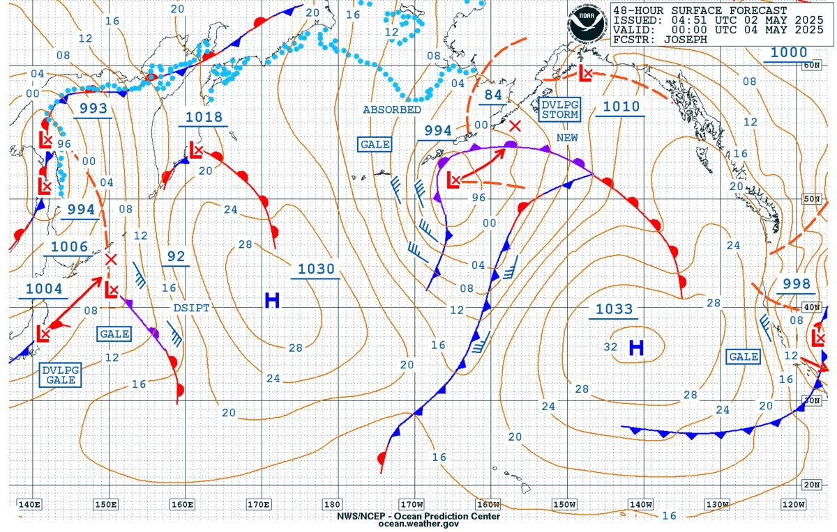
By late Saturday afternoon, the easing of the gradient will lower the windspeed in the Straits and make the last part of the race course challenging.

The Sunday morning forecast still shows a weak pressure gradient in the Strait of JdF. So, after a day of beating on Saturday, this should be a downwind run all the way to Shilshole.
So what does all this mean for wind on the Race Course?
Saturday
0800-1200 From the start to Pt No Pt (PNP) N-NNW breeze 8-17 knots.
1300 transition zone from PNP to Finish
1400 Lt NNW breeze 3-8 knts PNP to South end of Marrowstone Isl
1500 N-NNW breeze 5-10 knts Foulweather Bluff(FWB) to Finish
1600 Lt and variable from PNP to south end Marrowstone Isl
1600-1900 south end of MWS to Finish NW 8-15 knts.
Sunday
0800-1100 Start to PNP N-NNW 8-12 knts
1200-1530 Start to PNP N-NNW 4-8 knts
1200-1530 PNP to Finish Lt and variable
1600-1830 PNP to Finish N-NNW 4-10 knts.
For the murky crystal ball view of the potential elapsed times, here is what it shows:
Boat Sat Sunday
Catalina 36 7.8 hrs 7.2 hrs
J-30 7.89 7.85
Beneteau 36.7 6.9 6.43
J-105 6.8 6.93
J-35 6.75 7.0
J-109 6.7 6.2
Santa Cruz 50 5.3 6.1
Have a great weekend!