
Bruce’s Weather Forecast - Protection Island 2025
Thank you very much to Bruce Hedrick for this terrific weather forecast. Bruce has been a reliable teller of the weather truth for PNW sailors for many years and we are fortunate to have his contribution here.
by Bruce Hedrick
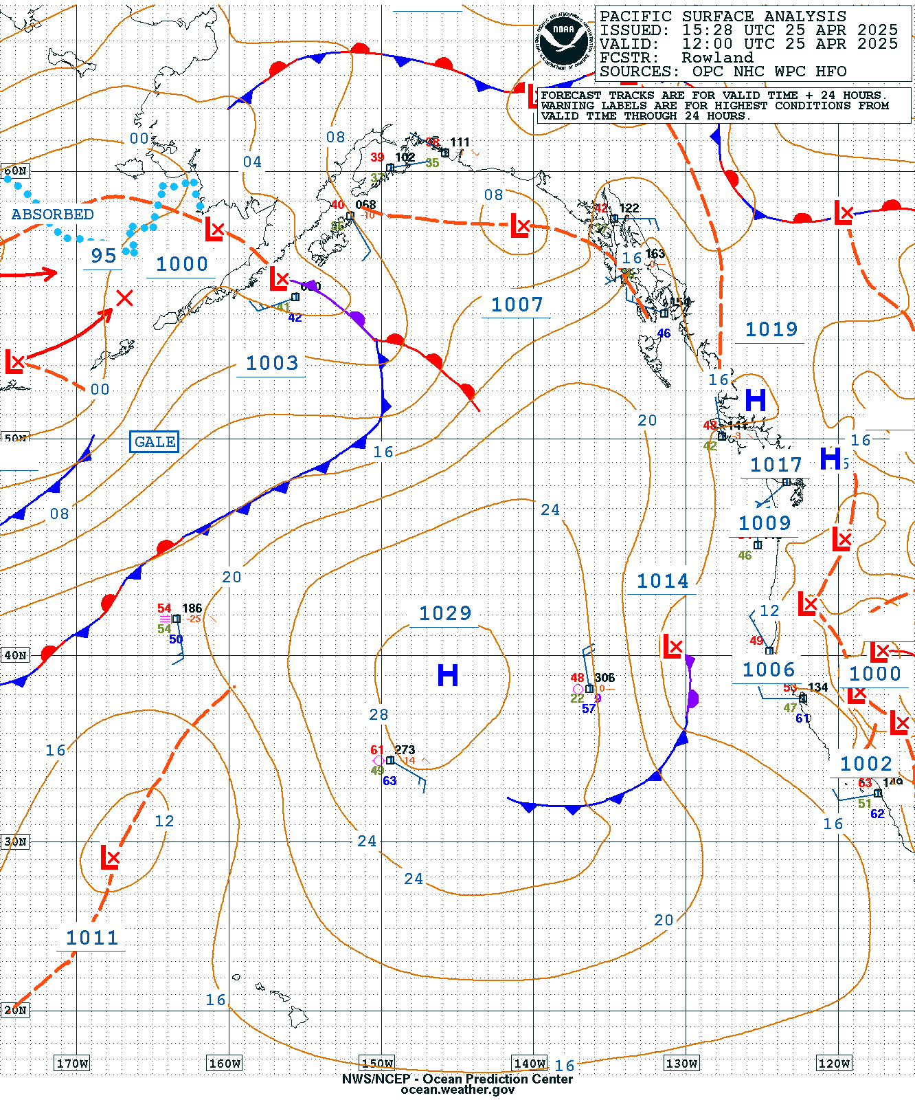
It has been a pretty lovely week—great breeze, enjoyable temperatures in the afternoon, but then cooling rapidly as the sun gets close to going away. We are beginning to see the Pacific High start to set up with its center of 1029MB located at 39N 145W. The pressure is still not as high as we would like to see it, say 1035MB or higher, but it’s getting there. It is also assuming a rounder shape, which helps maintain stability.
We’ve had a weak ridge of high-pressure over us, which has brought the cooler temps at night, but this will dissipate this evening as it is replaced by a weak trough of low pressure forming just east of the Cascades. By tomorrow morning, there will be very little pressure gradient over the Pacific NW. This will result in light southerly breeze over the North Sound and Admiralty Inlet.

The good news is that the weak trough of low pressure will move further to the east by tomorrow afternoon. This will allow the pressure gradient to build from west to east, bringing a strong onshore flow down the Strait of JdF. As is typical, the first day that the high starts to rebuild, this will be the strongest breeze.

By 0500hrs Sunday morning, the pressure gradient will have eased substantially, and the onshore flow will be weakened.

As you have probably guessed, this weekend's challenge will be navigating the transition zone between the light S-SW flow in the starting area and the N-NW flow as it comes down the Straits and Admiralty Inlet.
Since we’re racing in the North Sound, Admiralty Inlet, and the Straits, we must also deal with tidal currents. Luckily, these are not killer tides, and we’ll have the last of the ebb to get us started up the Sound.
West Point
0843 Max Ebb .1 knts
0954 Slack
1337 Max Fld .75 knts
1621 Slack
1756 Max Ebb .44 knts
1956 Slack
0140 Max Fld .82 knts
Presidents Point
0839 Max Ebb .64 knts
1140 Slack
1407 Max Fld .61 knts
1716 Slack
2038 Max Ebb .51 knts
2330 Slack
0206 Max Fld .54 knts
0504 Slack
Admiralty Inlet (Foul Weather Bluff)
0805 Max Ebb 2.79 knts
1121 Slack
1412 Max Fld 2.46 knts
1742 Slack
2030 Max Ebb 1.72 knts
2317 Slack
0209 Max Fld 2.12 knts
Pt Wilson
1040 Slack
1329 Max Fld 3.85 knts
1647 Slack
1922 Max Ebb 2.1 knts
2227 Slack
0100 Max Fld 3.37
Interestingly enough, the models are roughly in agreement with what should happen tomorrow. The breeze will be a light S-SW 3-5 knots for the start. As you gybe your way to the north, you must keep your head out of the boat and find the strongest patches of breeze. The N-NW breeze will fill down the West side of the Sound first, as will the flood tide. So on the Long Course, working the back eddies on the West side will pay. Skunk Bay between Pt No Pt and Foul Weather Bluff is the only trap. The more you get in there, the less wind there is. Caution. It now appears that the N-NW breeze will fill down between 1230 and 1400 hrs. It will start in the 5-knot range and then build to 10-12 knots. By 1600 expect 12-18 knts from Marrowstone to Protection Island. If you want to find out what the wind is doing between the mouth of Discovery Bay (Diamond Pt) and Protection Island, you can go to https://rainwise.net/weather/bruce98136. That is a very reliable weather station out in the open on the north side of Diamond Pt.
Remember that the gravel bar at the west end of Protection Island, Kanem Point, extends out quite a ways, and Dallas Bank on the North side of PI has some 1-2 fathom patches.
The run home should be fairly straightforward until you get just south of Point No Point after sunset. This is when the drainage N-NE breeze from the Cascades will start to fill from East to West across the Sound. That is the breeze you will finish on, and it starts out as 8-11 knots and then drops to 6 knots at the finish. The TP52s should be in around 2200-2300 hrs, the J-111s around the course in about 15.75 hrs, and the Beneteau 36.7 around in 18.1 hrs.
On the Short course, the same applies except at Pt No Pt on the way up. At PNP, hold port tack and get across Admiralty Inlet to better call your approach to Double Bluff. The J-105’s should be around the course in 9-9.5 hrs. The Cal 40 should finish in about 9.6-9.9hrs.
The Cruiser Race boats going to Scatchet Head will want to do the same, just leave the West side of the Sound when you think you can lay the mark. Remember that as you approach the mark, the N-NW breeze will ease under the Bluff and the tidal flow will increase as the water begins to shallow on the Possession Bar. The Beneteau 47.7 should be around the course in 7hrs, and the Cal 40 should be around in 7.7hrs.
Be safe, have a great Race and enjoy the weekend!